File:1911 Britannica - Map of Belgium and Luxemburg.png

Size of this preview: 800 × 593 pixels. Other resolutions: 320 × 237 pixels | 640 × 474 pixels | 920 × 682 pixels.
Original file (920 × 682 pixels, file size: 828 KB, MIME type: image/png)
| This is a file from the Wikimedia Commons. Information from its description page there is shown below. Commons is a freely licensed media file repository. You can help. |
Summary
| Description | |
| Date | |
| Source |
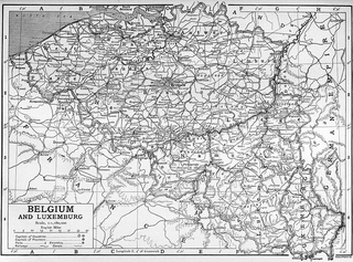
Encyclopædia Britannica Eleventh Edition, Vol. 3, Plate  |
| Author | Encyclopædia Britannica, 1911 |
Licensing
| This image comes from the 13th edition of the Encyclopædia Britannica or earlier. The copyrights for that book have expired in the United States because the book was first published in the US with the publication occurring before January 1, 1929. As such, this image is in the public domain in the United States. |  |
File history
Click on a date/time to view the file as it appeared at that time.
| Date/Time | Thumbnail | Dimensions | User | Comment | |
|---|---|---|---|---|---|
| current | 13:52, 4 January 2015 | | 920 × 682 (828 KB) | Clarice Reis | User created page with UploadWizard |
File usage
The following 2 pages use this file:
Global file usage
The following other wikis use this file:
- Usage on en.wikipedia.org