File:Britannica French West Africa.png

Size of this preview: 800 × 587 pixels. Other resolutions: 320 × 235 pixels | 640 × 469 pixels | 1,024 × 751 pixels | 1,280 × 939 pixels | 2,560 × 1,878 pixels | 3,272 × 2,400 pixels.
Original file (3,272 × 2,400 pixels, file size: 457 KB, MIME type: image/png)
| This is a file from the Wikimedia Commons. Information from its description page there is shown below. Commons is a freely licensed media file repository. You can help. |
Summary
| Description |
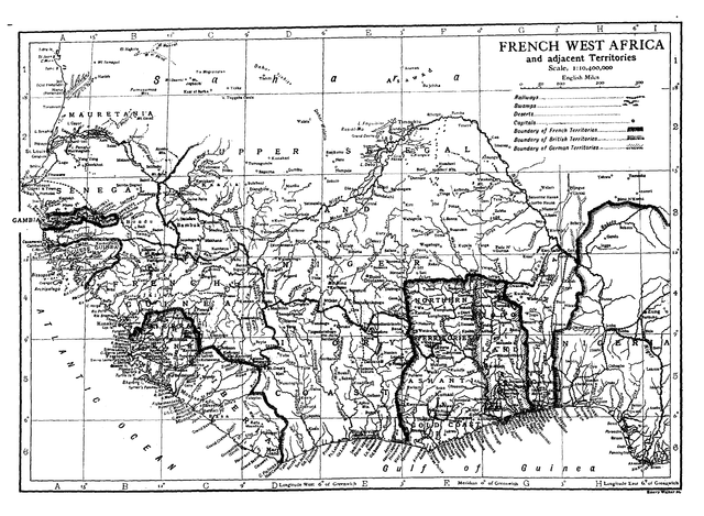
English: Map of French West Africa. |
| Date | |
| Source | Encyclopædia Britannica, 11th Edition. |
| Author | Hugh Chisholm, editor. |
Licensing
| This image comes from the 13th edition of the Encyclopædia Britannica or earlier. The copyrights for that book have expired in the United States because the book was first published in the US with the publication occurring before January 1, 1929. As such, this image is in the public domain in the United States. |  |
File history
Click on a date/time to view the file as it appeared at that time.
| Date/Time | Thumbnail | Dimensions | User | Comment | |
|---|---|---|---|---|---|
| current | 15:00, 7 March 2011 | | 3,272 × 2,400 (457 KB) | Keith Edkins | Rotated |
| 14:59, 7 March 2011 |  | 2,400 × 3,272 (503 KB) | Keith Edkins | =={{int:filedesc}}== {{Information |Description={{en|Map of French West Africa.}} |Source=Encyclopædia Britannica, 11th Edition. |Author=Hugh Chisholm, editor. |Date=1911 |Permission= |other_versions= }} <!--{{ImageUpload|full}}--> = |
File usage
The following 2 pages use this file:
Global file usage
The following other wikis use this file:
- Usage on da.wikipedia.org
- Usage on fi.wikipedia.org
- Usage on mk.wikipedia.org
- Usage on nl.wikipedia.org
- Usage on tr.wikipedia.org
- Usage on uk.wikipedia.org
- Usage on vi.wikipedia.org
- Usage on www.wikidata.org