File:Britannica Munich - Plan.jpg

Size of this preview: 543 × 600 pixels. Other resolutions: 217 × 240 pixels | 434 × 480 pixels | 695 × 768 pixels | 927 × 1,024 pixels | 2,044 × 2,258 pixels.
Original file (2,044 × 2,258 pixels, file size: 1.15 MB, MIME type: image/jpeg)
| This is a file from the Wikimedia Commons. Information from its description page there is shown below. Commons is a freely licensed media file repository. You can help. |
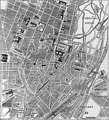
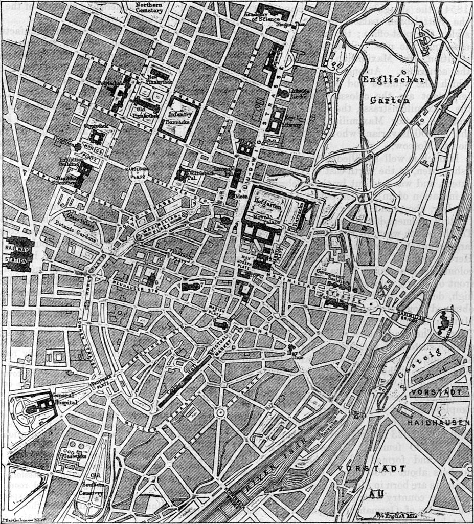
| Description | Map of the city of Munich. | |||
| Date | published 1884 | |||
| Source | Encyclopædia Britannica, 9th edition, v. 17, 1884, p. 25. | |||
| Author | J. Bartholomew, Edinburgh | |||
| Permission (Reusing this file) |
|

Caption:
| 1. Theatinerkirche. | 3. Allerheiligen Church. | 5. Hoftheater. | 7. Frauenkirche. |
| 2. Feldherrnhalle. | 4. Residenztheater. | 6. St Michael's Church. | 8. St Peter's Church. |
File history
Click on a date/time to view the file as it appeared at that time.
| Date/Time | Thumbnail | Dimensions | User | Comment | |
|---|---|---|---|---|---|
| current | 16:27, 11 July 2012 | | 2,044 × 2,258 (1.15 MB) | Bob Burkhardt | {{Information |Description=Map of the city of Munich. |Source=''Encyclopædia Britannica'', 9th edition, v. 17, 1884, p. 25. |Date=published 1884 |Author=J. Bartholomew, Edinburgh |Permission={{PD-Britannica}} |other_versions= }} [[Category:Old maps of... |
File usage
The following page uses this file: