File:EB9 Arkansas - sketch map.jpg

Size of this preview: 573 × 599 pixels. Other resolutions: 229 × 240 pixels | 459 × 480 pixels | 734 × 768 pixels | 1,220 × 1,276 pixels.
Original file (1,220 × 1,276 pixels, file size: 237 KB, MIME type: image/jpeg)
| This is a file from the Wikimedia Commons. Information from its description page there is shown below. Commons is a freely licensed media file repository. You can help. |
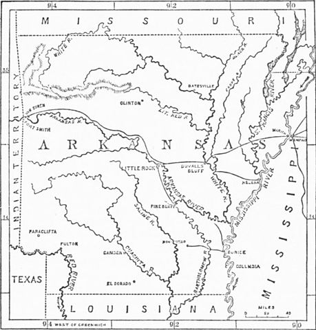
| Description | "Sketch map" of the state of Arkansas: a lower level of detail with arrows showing the flow directions of rivers | |||
| Date | published 1878 | |||
| Source | Encyclopædia Britannica, Ninth Edition, v. 2, 1878, p. 540. | |||
| Author | cartographic credit is illegible in the scan | |||
| Permission (Reusing this file) |
|

File history
Click on a date/time to view the file as it appeared at that time.
| Date/Time | Thumbnail | Dimensions | User | Comment | |
|---|---|---|---|---|---|
| current | 17:59, 5 October 2011 | | 1,220 × 1,276 (237 KB) | Bob Burkhardt | {{Information |Description="Sketch map" of the state of Arkansas: a lower level of detail with arrows showing the flow directions of rivers |Source=''Encyclopædia Britannica'', Ninth Edition, v. 2, 1878, p. 540. |Date=published 1878 |Author=cartographic |
File usage
The following 2 pages use this file: