File:Kiribati CIA WFB map (2004).png
No higher resolution available.
Kiribati_CIA_WFB_map_(2004).png (330 × 354 pixels, file size: 10 KB, MIME type: image/png)
| This is a file from the Wikimedia Commons. Information from its description page there is shown below. Commons is a freely licensed media file repository. You can help. |
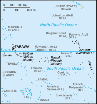
| Description | Map of the Kiribati from the 2004 World Factbook (2005-02-10 revision) | |||
| Date | ||||
| Source | World Factbook website | |||
| Author | Directorate of Intelligence, CIA | |||
| Permission (Reusing this file) |
|

.png)
.png&action=edit&redlink=1)
.png)
File history
Click on a date/time to view the file as it appeared at that time.
| Date/Time | Thumbnail | Dimensions | User | Comment | |
|---|---|---|---|---|---|
| current | 12:18, 13 November 2010 | | 330 × 354 (10 KB) | Hoshie | {{Information |Description= Map of the {{w|Kiribati}} from the 2004 World Factbook (2005-02-10 revision) |Source=[http://web.archive.org/web/20050401070843/www.cia.gov/cia/publications/factbook/print/kr.html World Factbook website] |Date= 2005-02-10 |Auth |
File usage
There are no pages that use this file.
Global file usage
The following other wikis use this file:
- Usage on lt.wiktionary.org
.png)