File:Map showing the overland and overseas flights of Charles A. Lindbergh (35048888011).jpg
.jpg)
.jpg&action=edit&redlink=1)

Size of this preview: 800 × 474 pixels. Other resolutions: 320 × 190 pixels | 640 × 379 pixels | 1,024 × 607 pixels | 1,280 × 759 pixels | 2,560 × 1,517 pixels | 11,865 × 7,033 pixels.
Original file (11,865 × 7,033 pixels, file size: 21.64 MB, MIME type: image/jpeg)
| This is a file from the Wikimedia Commons. Information from its description page there is shown below. Commons is a freely licensed media file repository. You can help. |
.jpg)
Summary
| Warning | The original file is very high-resolution. It might not load properly or could cause your browser to freeze when opened at full size. |
|---|
| Description |
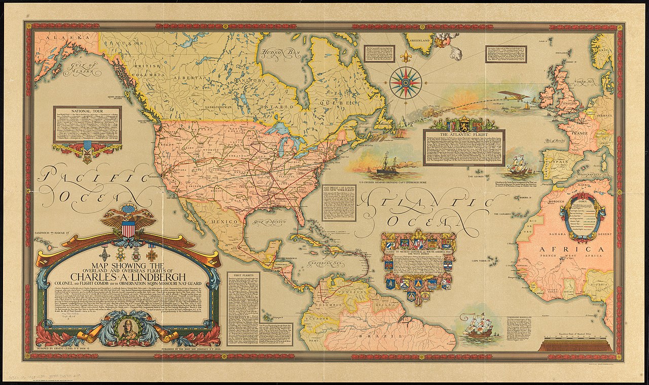
English: Zoom into https://collections.leventhalmap.org/search/commonwealth:q524n359d at https://collections.leventhalmap.org/. Title:Map showing the overland and overseas flights of Charles A. Lindbergh |
| Date | |
| Source | https://www.flickr.com/photos/normanbleventhalmapcenter/35048888011/ |
| Author | Norman B. Leventhal Map Center at the BPL |
| Permission (Reusing this file) |
At the time of upload, the image license was automatically confirmed using the Flickr API. For more information see Flickr API detail. |
| Flickr sets |
|
Licensing
This work is in the public domain in the United States because it was published in the United States between 1929 and 1977, inclusive, without a copyright notice. For further explanation, see Commons:Hirtle chart as well as a detailed definition of "publication" for public art. Note that it may still be copyrighted in jurisdictions that do not apply the rule of the shorter term for US works (depending on the date of the author's death), such as Canada (50 p.m.a.), Mainland China (50 p.m.a., not Hong Kong or Macao), Germany (70 p.m.a.), Mexico (100 p.m.a.), Switzerland (70 p.m.a.), and other countries with individual treaties.
|
 |
This file is licensed under the Creative Commons Attribution 2.0 Generic license.
- You are free:
- to share – to copy, distribute and transmit the work
- to remix – to adapt the work
- Under the following conditions:
- attribution – You must give appropriate credit, provide a link to the license, and indicate if changes were made. You may do so in any reasonable manner, but not in any way that suggests the licensor endorses you or your use.
| This image was originally posted to Flickr by Norman B. Leventhal Map Center at the BPL at https://flickr.com/photos/24528911@N05/35048888011. It was reviewed on 26 July 2017 by FlickreviewR and was confirmed to be licensed under the terms of the cc-by-2.0. |
File history
Click on a date/time to view the file as it appeared at that time.
| Date/Time | Thumbnail | Dimensions | User | Comment | |
|---|---|---|---|---|---|
| current | 13:44, 28 July 2017 | | 11,865 × 7,033 (21.64 MB) | Ww2censor | higher resolution from source |
| 20:46, 26 July 2017 |  | 2,000 × 1,186 (2.77 MB) | Fæ | Norman B. Leventhal Map Center, Set 72157632187636362, ID 35048888011, Original title Map showing the overland and overseas flights of Charles A. Lindbergh |
File usage
There are no pages that use this file.
.jpg)