miles into Honduras and a hundred miles into Nicaragua; but at Panama they are reduced to a width of five or eight miles. The Pacific coastal plains of Panama are wider than those on the Caribbean side; but, generally speaking, the plains upon the western side of the table-lands are much narrower than those upon the Atlantic side. In Nicaragua they are reduced to eighteen miles in width, and even at Tehuantepec, where they set in from the Pacific Ocean and indent the plateau region, their breadth is only twenty-five miles (see map. Pig. 7, page 588). The coastal plains represent the lands which have been most recently elevated above the sea. When they were covered by the oceanic waters the Isthmus of Tehuantepec was only twenty-five miles across, and still less where penetrated by dissecting arms of the sea. The Panama Isthmus was reduced to five miles across.
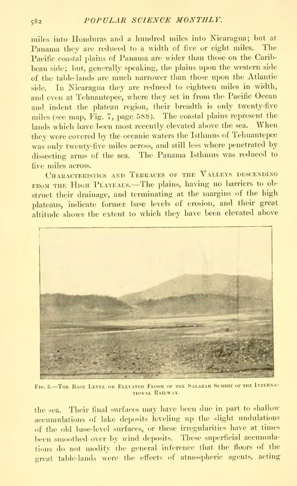
Characteristics and Terraces of the Valleys descending from the High Plateaus.—The plains, having no barriers to obstruct their drainage, and terminating at the margins of the high plateaus, indicate former base levels of erosion, and their great altitude shows the extent to which they have been elevated above

Fig. 3.—The Base Level or Elevated Floor of the Salazar Summit of the International Railway.
the sea. Their final surfaces may have been due in part to shallow accumulations of lake deposits leveling up the slight undulations of the old base-level surfaces, or these irregularities have at times been smoothed over by wind deposits. These superficial accumulations do not modify the general inference that the floors of the great table-lands were the effects of atmospheric agents, acting