182
Dr. Berger on the physical Structure
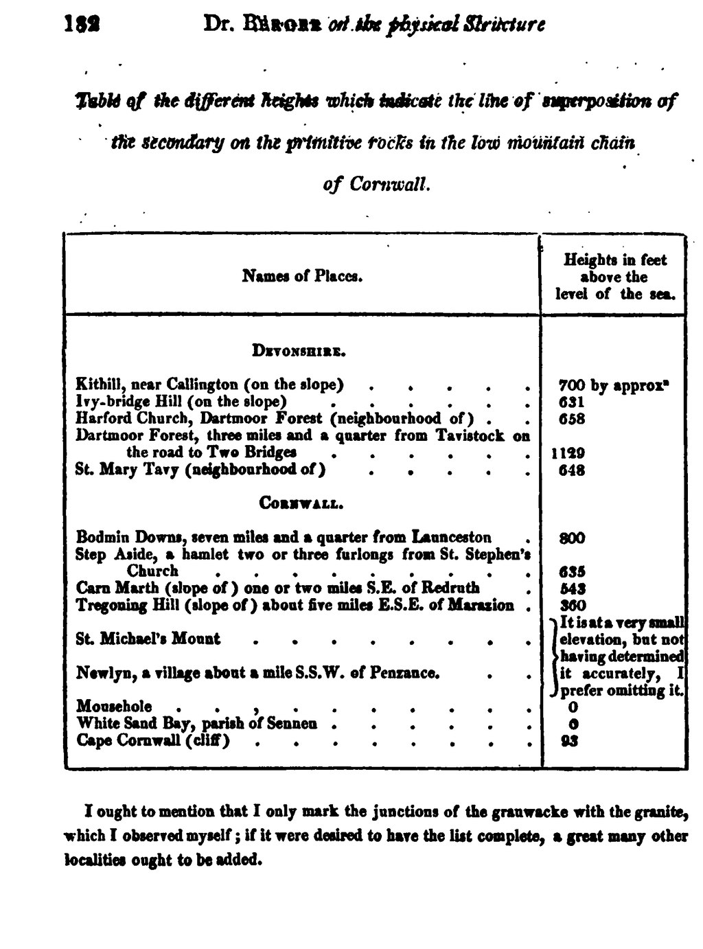
Table of the different heights which indicate the table of superposition of the secondary on the primitive rocks in the low mountain chain of Cornwall.
| Names of Places. | Heights in feet above the level of the sea. | ||
| Devonshire | |||
| Kithill, near Callington (on the slope) | 700 | by approx | |
| Ivy-bridge Hill (on the slope) | 631 | ||
| Harford Church, Dartmoor Forest (neighbourhood of) | 658 | ||
| Dartmoor Forest, three miles and a quarter from Tavistock on the road to Two Bridges | 1129 | ||
| St. Mary Tavy (neighbourhood of) | 648 | ||
| Cornwall. | |||
| Bodmin Downs, seven miles and a quarter from Launceston | 800 | ||
| Step Aside, a hamlet two or three furlong: from St. Stephen's Church | 635 | ||
| Carn Marth (slope of) one or two miles S.E. of Redruth | 543 | ||
| Tregoning Hull (slope of) about live miles E.S.E. of Marazion | 360 | ||
| St. Michael's Mount | It is at a very small elevation, but no having determined accurately, prefer omitting it. | ||
| Newlyn, a village about a mile S.S.W. of Penzance | |||
| Mousehole | 0 | ||
| White Sand Bay, parish of Sennen | 0 | ||
| Cape Cornwall (cliff) | 93 | ||
I ought to mention that I only mark the junctions of the grauwacke with the granite, which I observed myself; if it were desired to have the list complete, a great many other localities ought to be added.

